 vesseltracker.com
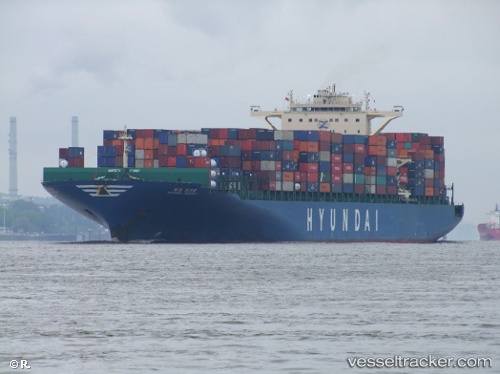
Vessel MSC RIDA IMO: 9393307, MMSI: 255803480 Container Ship
UTC, 26.40930, -78.95045, course: 54, speed: 2.9
UTC, 26.32935, -78.92627, course: 336, speed: 7.3
2026-02-23 15:33:13 UTC, 26.48973, -79.00188, course: 319, speed: 3.1
Live AIS position:
UTC. 12 nm S of West End),
updated 2026-02-23 15:33:13 UTC.
Find the position of the vessel MSC RIDA on the map. The latter are known coordinates and path.
marine traffic ship tracker show on live map
The current position of vessel MSC RIDA is 26.48973 lat / -79.00188 lng. Updated: 2026-02-23 15:33:13 UTCCurrently sailing under the flag of Portugal (MAR)
MSC RIDA built in 2009 year
Deadweight:
95810 tDetails:
Last coordinates of the vessel:
UTC, 26.40250, -78.97022, course: 356, speed: 6UTC, 26.40930, -78.95045, course: 54, speed: 2.9
UTC, 26.32935, -78.92627, course: 336, speed: 7.3
2026-02-23 15:33:13 UTC, 26.48973, -79.00188, course: 319, speed: 3.1